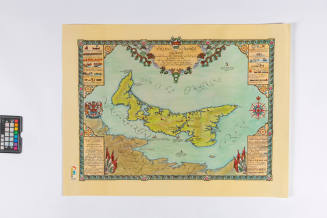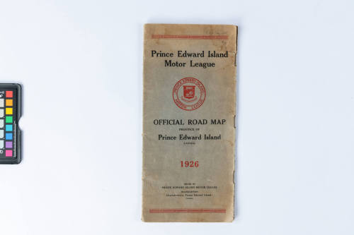


MAP
CultureCanadian
Date1926
Dimensions30.7 x 14.3 cm
Object numberHF.2019.51.4
DescriptionPrince Edward Island road map with blue covers, issued in 1926. The covers are folded so that the bound edge is on the right side of the map and the text on the front and back cover are printed on the same piece of paper. The off-white pages each contain part of the highway map of PEI. The front cover has black text with red borders at the top and bottom, there is also a red PEI coat of arms in the PEI Motor League logo and red text for the year.